
(a) There’s the (flash) heavy thundery type rain, which quickly saturates the land, therefore remaining on surface, causing the local watercourses in the fields to be plummeted into a state of full capacity flow, leading to inadvertent overflowing, in turn onto Salter Lonning, to the mercy of the road drainage infrastructure, or (if it remains on surface) the vulnerable village properties.
(b) There’s the gentler but persistent “Storm Desmond” type rain, which in extreme times lingers for very long periods over the same catchment area, “quickly overriding and engulfing any form of environmental natural slow release”, entering the local water courses, becks, and in turn the river Caldew causing it to rapidly rise to extreme levels and large volume, to the mercy of the 120 year old low capacity ancient single arched MILLHOUSE road bridge, which is now deprived of its originally designed overflow path onto the original village flood plain.
MILLHOUSE, located in the Caldew valley, may have the advantage of being sheltered from extreme winds and cold wintery weather, probably a lot warmer than the top of the hill.

These two rather inferior quality stills are an extract from "8mm Cine Film".


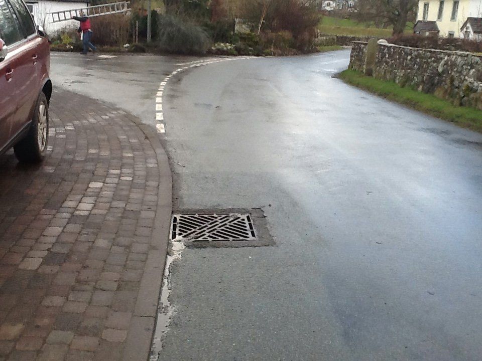
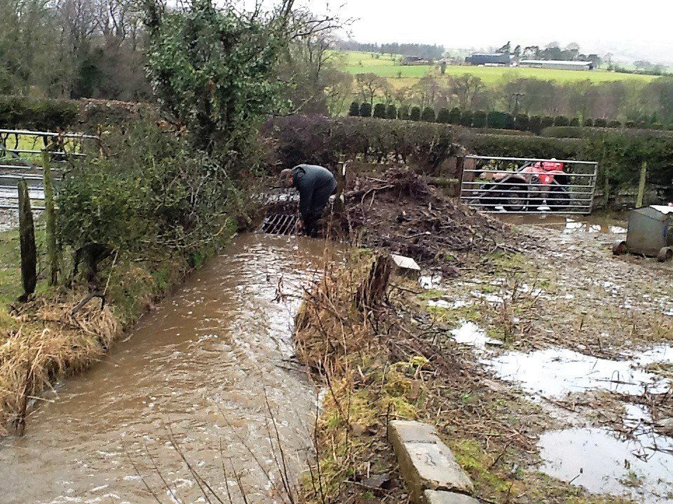
More gullies were needed at the epicentre source area, to get the water into the very substantial underground drain infrastructure.
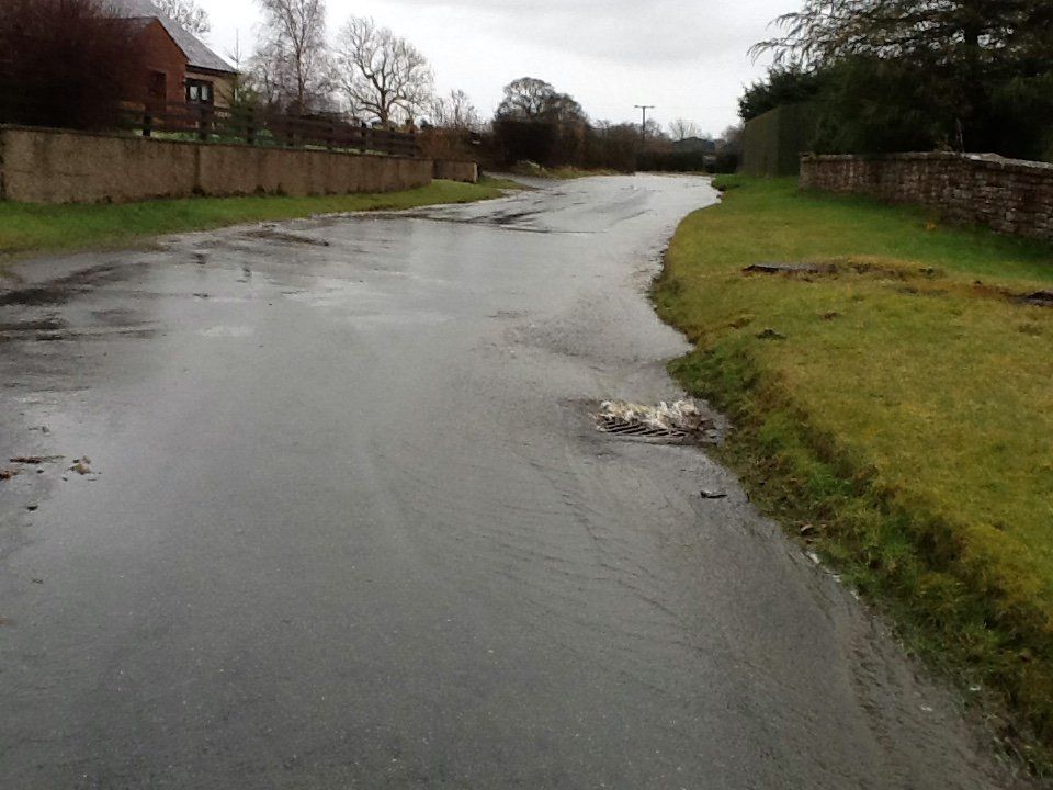
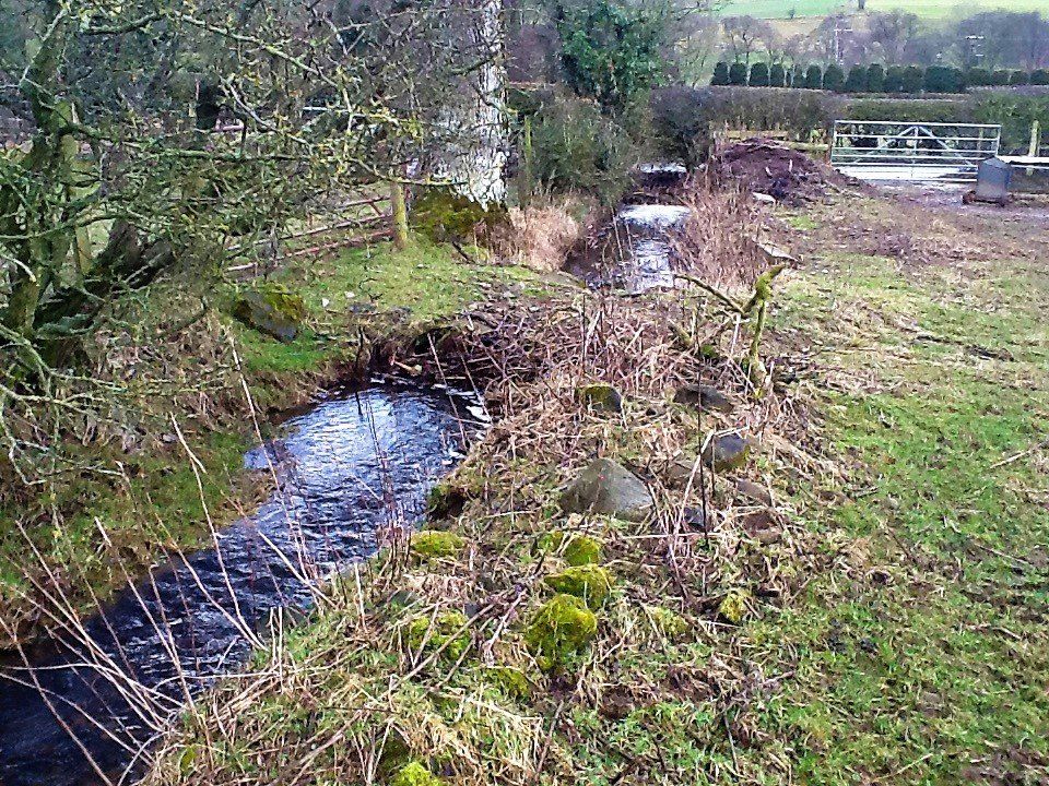
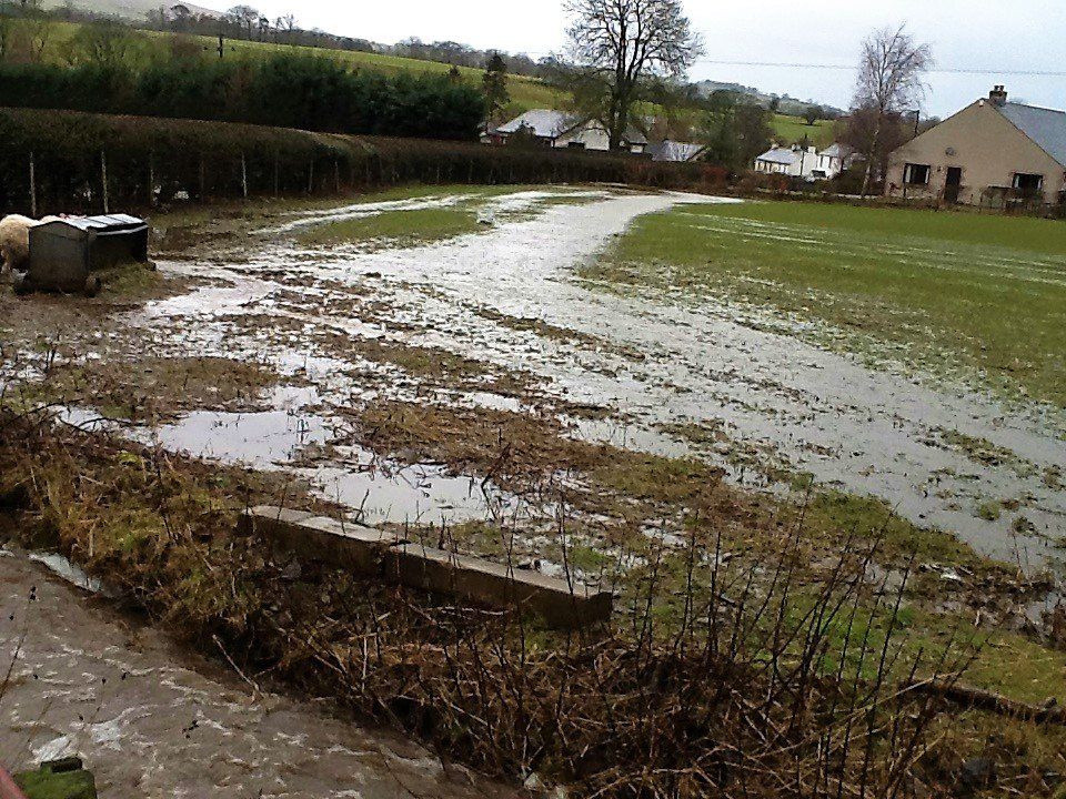
This photo shows the calmed flow, the aftermath of the real torrent that passed this way several hours before.
This grid requires frequent intervention to prevent it being blocked by dedris.
It is shown here in an 80% blocked state.
Photo: Wednesday 25th February 2015

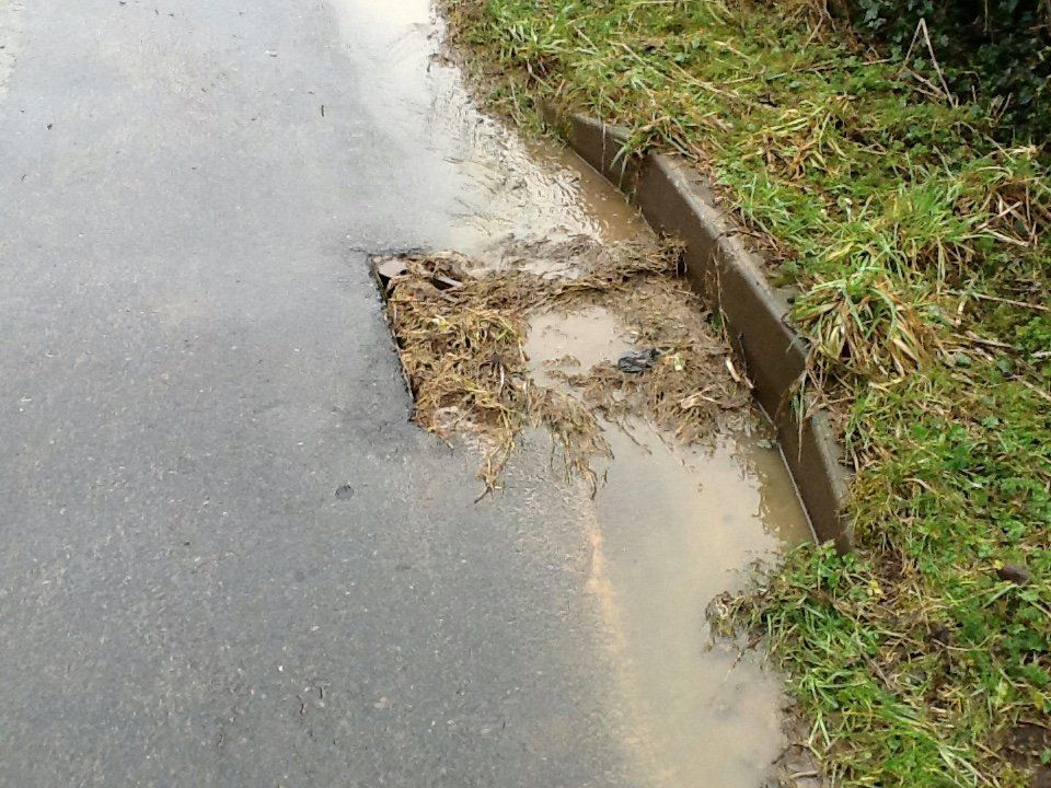
This gully is shown in a 90% blocked state.
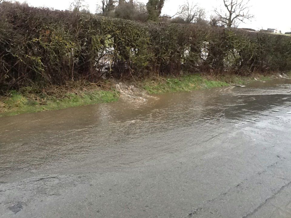
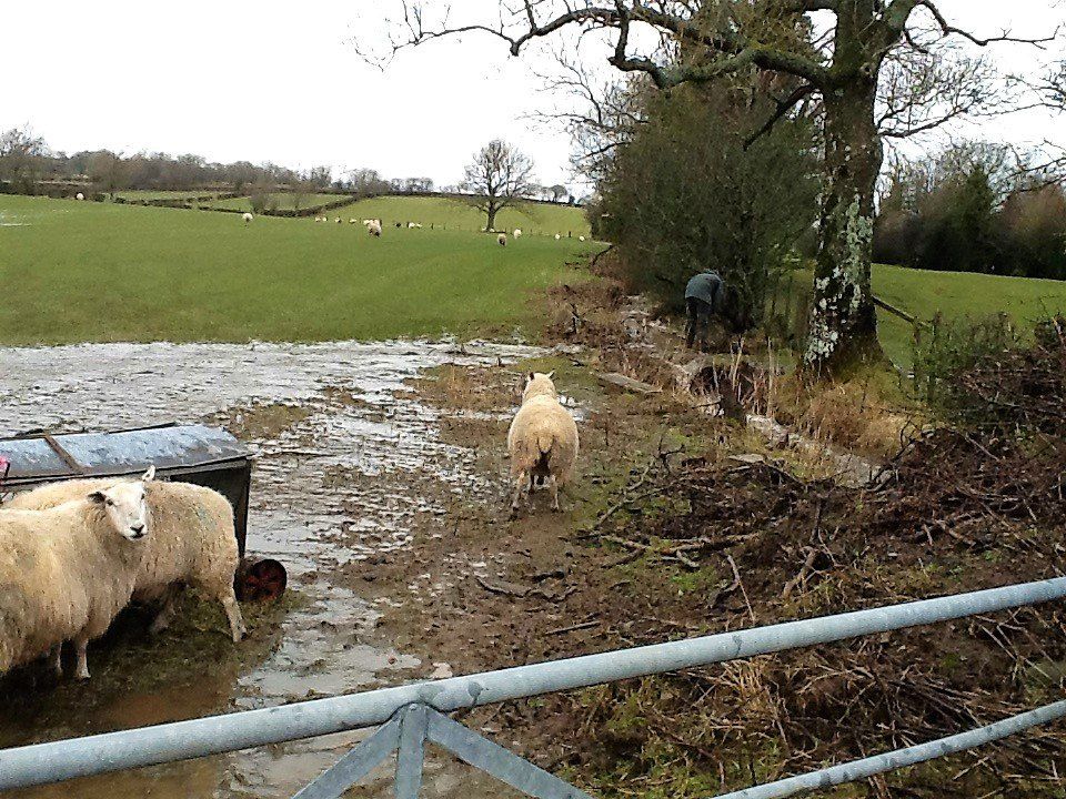
During heavy downpours of rain, a torrent flows freely and unhindered from this overflowing gutter, across the field, then through the hedge onto Salter Lonning just before Ashdene & Mally Lonning, then flowing directly towards the vulnerable properties of MILLHOUSE. This overflow across the field literally by-passes the entire phase 2 Salter Lonning drains infrastructure.
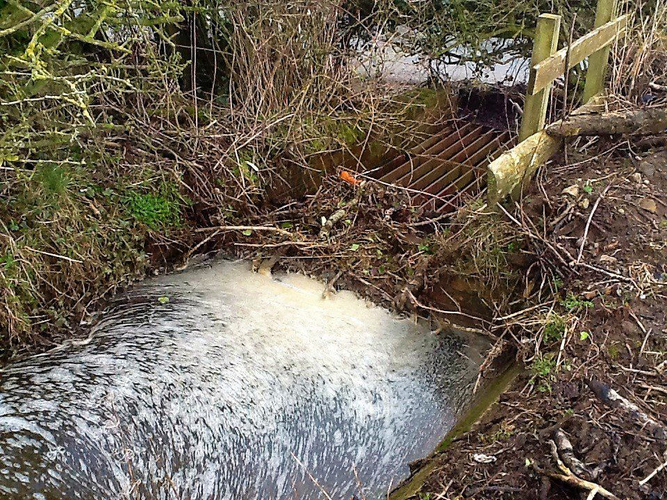
The concrete pipe is shown below, the day before the event in an 80% blocked state.
The smaller volume capacity of this pipe does not match the gutter size, (3rd of size) when it is plummeted into a state of full spate flow after only a short period of heavy thundery type rainfall.
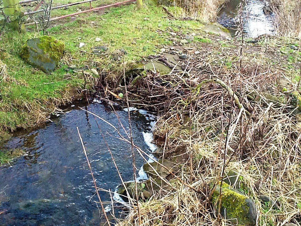
Photo below: Thursday 26th Feb. 2015, (aftermath).
(The next morning after the above photo).
This is the result of the blocked pipe after heavy over night rain.
As, and when the pipe is blocked with debris, the gutter spills out onto the field, to head directly to the mercy of the village, as unhindered surface flood water.
Failure of this crucial maintenance results in the overflow of the gutter onto Salter lonning, instead of entering the purpose built underground drain to the Gillcambon Beck terminal outfall.

Storm "Franklin" Sunday 20th February 2022
(7 years on from the above event)
An almost duplicate performance (of the previous documented event above) occurred during Storm Frankilin on Sunday 20th February 2022 when again the concrete pipe was witnessed by many as again being blocked by debris, again diverting the flood water across the field towards the village, again by-passing all the drainage infrastructure, again creating concerns for potential property flooding in the village.
The land owner was again approached by a Parish Councillor about the offending concrete pipe, who retaliated with rather unwarranted aggressive resentment and some words of language not found in the English Dictionary.